
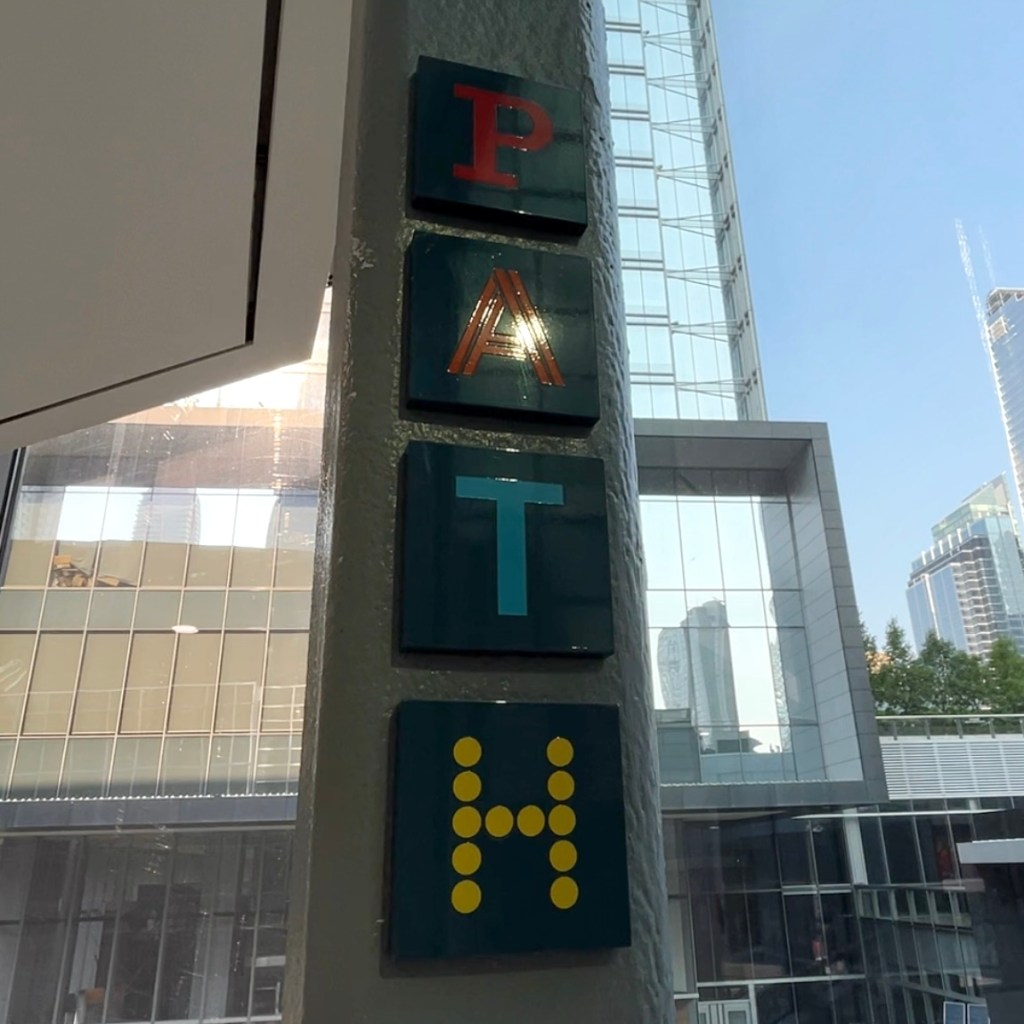
A Local’s Guide to Navigating Downtown’s Underground Walkway
There exists a certain anxiety that comes around every November when the wind begins to cut through downtown Toronto and signals the coming of winter. It is the kind of cold that forces you to reconsider all plans of being outdoors that you have planned for that day. Luckily for this city, there is a unique solution that everyone who lives in the city knows, but most tourists don’t notice that is a whole world below ground.
That world is the PATH, and if you have lived in Toronto for any length of time, chances are you have used it without fully appreciating what it actually is.
What Exactly Is the PATH?
PATH refers to the system of underground passages and pathways connecting the subway stations and different buildings in the downtown core area. The most impressive thing about PATH, however, is its sheer size. PATH is the biggest underground shopping complex in the entire world covering an area of about 3.7 million square feet and connecting office buildings, retail stores, dining areas, and transportation hubs in one climate-controlled underground network. One can move around from Union Station to CN Tower, Roy Thomson Hall to Scotiabank Arena or Eaton Centre without even feeling a breeze.
Although I myself have spent many years living in GTA (Greater Toronto Area) and using the PATH, there are times when the PATH still feels like a maze even to me. The signage helps, although if one is a first-timer, they are practically guaranteed to get lost at least once. On the other hand, since the underground shopping malls usually close down regularly on the weekends and yet the passages stay open, the PATH becomes a walking route in itself.
📌 For more official information and maps, please visit the City of Toronto's official PATH page, [here]. Or please visit [here] for Go Tourism Path Guide for additional tips and walking routes.
A Quiet Place to Exist
The PATH has become a third place for many people without me discovering it. When the retail stores and the food court are shut down on weekends, the space in the food courts remain open and provide truly delightful places to hang out and study without spending too much money. I have noticed people with their laptops sitting there, friends getting together with board games laid out on the tables, and students reading their books for hours. It is truly intriguing in the most beautiful way possible – quiet, warm, and pretty much left alone.
If you are using it on a weekday and happen to get lost, do not worry too much. There are always shops open and staff walking around who are generally happy to point you in the right direction. The PATH might be confusing, but it is consistently helpful.
Who Actually Uses It
The PATH sees the heaviest traffic from office workers and university students, particularly during the colder months when the alternative is walking several blocks through wind and snow. TMU (Toronto Metropolitan University) students get particular use out of it, since the PATH runs continuously enough to connect Union Station to Eaton Centre, which links up close to TMU’s downtown campus. For a lot of students and office workers, the PATH is not a novelty. It is just how you get around downtown from November through March.
Tips for Navigating the PATH Without Losing Your Mind
A few things I have picked up over the years that genuinely help:
- Start at Union Station. This is the core point through which one can enter easily into the entire transit system. You can easily connect to Scotiabank Arena, Brookfield Place, and the Financial District from here.
- Learn the colour-coded arrows. Red points south, orange points north, blue points east, and yellow points west. They are not flawless, but they help more often than not.
- Use your phone, not just the printed map. The official PATH map is a good starting reference, but real-time GPS makes following turns and corridors far easier. Some buildings are not represented clearly on older printed versions, so your phone is the more reliable tool in the moment.
- Office hours are when most places are open. Most stores and food courts have opening hours Monday through Friday, 9 AM to 6 PM. There aren’t many people during weekends, and many businesses close down earlier or usually do not open up at all.
- Use landmarks to orient yourself. Eaton Centre, City Hall and Nathan Phillips Square, Royal Bank Plaza, First Canadian Place, the Hockey Hall of Fame, and the St. Andrew and King subway stations are all reliable reference points if you feel yourself getting lost.
- Layer up. Although the PATH system itself has climate control, the change of temperatures upon entering and exiting buildings can be quite noticeable.
- Do not travel during rush hour if you simply want to explore. Mornings between 8:00 and 9:30 AM and late afternoons between 4:00 and 6:00 PM are packed with people getting to and from work. If you are wandering for the experience rather than commuting, midday is far more pleasant.
Final Thoughts
The PATH is one of those things that is easy to take for granted if you live here, and genuinely fascinating if you do not. It is not just a shortcut from the cold. It is more than just a means of warming up on a winter’s day. It is an ecosystem beneath the city that functions quite efficiently with its own set of regulars and logic once you learn how it works. If you happen to have a few hours to spend on a November morning, it will certainly be worth your while to take a look.


Leave a Reply